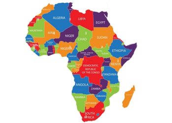


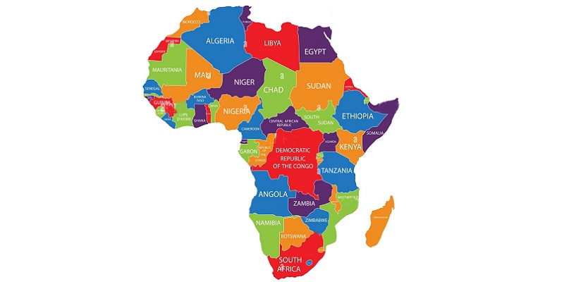
TD NEW YORK, USA — The United Nations General Assembly has overwhelmingly backed a resolution encouraging the wider use of world maps that represent the relative size of continents more accurately, in a move aimed particularly at correcting the longstanding under-representation of Africa on commonly used maps.

The resolution, titled “Correct the Map: Rebalancing global cartographic representation and promoting equitable representation of the world’s regions, particularly Africa,” was sponsored by Togo and adopted on September 4 by 164 votes to one, with six abstentions.
The United States was the only country to vote against it.
The six countries that abstained were Estonia, Georgia, Lithuania, Moldova, Serbia and Ukraine, according to the UN’s meeting record.
The initiative promotes the use of equal-area projections, including the 2018 Equal Earth projection, as alternatives to the widely used Mercator projection when the purpose is to compare the actual areas of countries and continents.
Why Africa appears smaller on traditional maps
The Mercator projection was developed by Flemish cartographer Gerardus Mercator in 1569, primarily for navigation.
It preserves angles and makes plotting constant compass bearings useful, but it significantly distorts the relative size of land masses as they move toward the poles.
As a result, northern regions such as Europe, North America and Greenland appear considerably larger than their actual areas, while equatorial regions including Africa and South America appear relatively smaller.
One of the most striking comparisons is Greenland and Africa. On a Mercator map, Greenland can appear comparable in size to Africa, even though Africa is roughly 14 times larger in actual area.
The Equal Earth projection, developed in 2018 by cartographers Tom Patterson, Bojan Šavrič and Bernhard Jenny, is designed to preserve relative land area much more accurately while maintaining a recognizable representation of continental shapes.
It does, however, introduce other distortions.
No flat map can simultaneously preserve area, shape, distance and direction perfectly, because the Earth is three-dimensional while a conventional world map is two-dimensional.
UN resolution does not ban Mercator
Despite headlines describing the decision as the UN “adopting a new world map” or “retiring” Mercator, the actual resolution is more limited.
The General Assembly resolution is not legally binding.
It does not require governments, schools, technology companies or media organisations to immediately abandon Mercator.
Instead, it encourages governments, international organisations, educational institutions and other users to promote equal-area projections where accurately comparing the relative size of regions is important.
The resolution also recognises that different projections serve different purposes.
Mercator’s properties remain useful for maritime and aerial navigation, where maintaining angles and constant bearings can be important.
In other words, the vote does not mean that Mercator maps will suddenly disappear from navigation systems, classrooms, websites or printed materials.
Togo leads African campaign
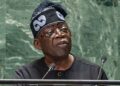
Togo Foreign Minister Robert Dussey presented the initiative as more than a technical cartographic debate.
He argued that maps influence how generations understand the world, saying that maps “guide education, nourish the imagination, and influence collective perceptions.”
According to Dussey, continued reliance on projections that visually minimise Africa has consequences for how the continent and other equatorial regions are perceived.
The initiative follows an earlier campaign by the African Union to encourage the use of equal-area mapping. Togo subsequently brought the issue before the General Assembly.
Togo has said it intends to update its own school geography materials by the end of 2026 and encourage other countries, international organisations and technology companies to consider similar changes.
United States votes against resolution
Washington was the sole government to vote against the resolution.
The United States argued that the General Assembly should focus on more pressing international problems rather than what it described as an ideological debate surrounding historical cartography.
The vote therefore produced an unusual result: 164 countries supported the measure, six abstained and the United States alone voted against it.
France, which supported the initiative, also welcomed the effort to correct what officials described as longstanding visual distortions in conventional world maps.
French Foreign Minister Jean-Noël Barrot argued that changing a map does not change the world but that correcting a distorted representation can contribute to a more accurate understanding of it.
What changes now?
The UN vote is best understood as a political and educational push rather than a global cartographic mandate.
It encourages the world to use maps such as Equal Earth when the objective is to communicate the true relative size of continents.
It does not establish one compulsory “UN world map,” nor does it prohibit the use of Mercator.
For Africa, however, the symbolism is significant.
A continent occupying approximately 30 million square kilometres will appear much closer to its actual relative size when represented using an equal-area projection.
Countries and regions near the equator will likewise gain visual scale compared with their appearance on Mercator maps.
The resolution therefore represents an effort to change not the geography of the world, but the way the world is visually represented.
As the campaign’s supporters argue, the Earth itself has not changed. The map has.